

type to ROAD within a transport chain when a shipment leg is moved by truck, van, or another commercial road vehicle.
Road calculations are most representative when the request provides the vehicle and loading details directly.
If these are omitted, TerraTwin selects suitable defaults using the route’s region of operation and relevant cargo properties, such as category, packaging, and density characteristics.
Mode
type: "ROAD" in a transportChain transport element.TerraTwin treats that element as a requested road leg between the surrounding transport chain locations.Vehicle
grossWeightBand, grossWeight, maximumWeight, or emptyWeight when you know the vehicle size.If the exact size is unknown, use vehicle, structure, and packaging to help TerraTwin select a suitable default.Loading
loadDistribution, loadFactor, and emptyRunning when you know how the vehicle capacity was used for the shipment.If loadFactor or emptyRunning are omitted, TerraTwin applies defaults based on the region of operation, selected vehicle class, packaging, and cargo density.Primary data
energyConsumption when measured fuel, electricity, or efficiency data is available.Supplying energy consumption switches the calculation from vehicle modelled emissions to consumption based primary data.ROAD transport element may be realized as several sub-operations in the response when the road route includes roll-on/roll-off ferry or rail movements.
For example, a road route from France to Great Britain may include a Channel Tunnel rail sub-operation.Basic shape
A minimal road operation only needstype: "ROAD" in the transport chain:
type property on the transport operation.
Because no vehicle details are supplied, TerraTwin selects a default road vehicle from the origin country, cargo, trip, and routing context. In this case, the operation is modelled as an ARTICULATED_TRUCK_34000_TO_40000_KG with EURO_6AC emissions standard, fleet-average vehicle age, LTL load distribution, 72% load factor, and 30% empty running.
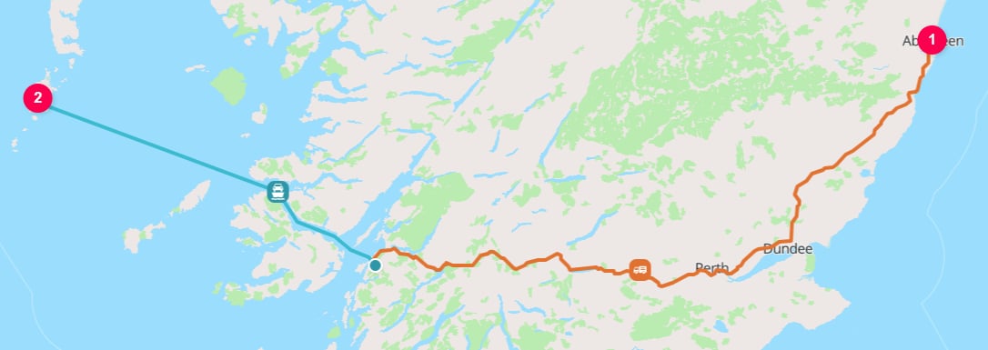
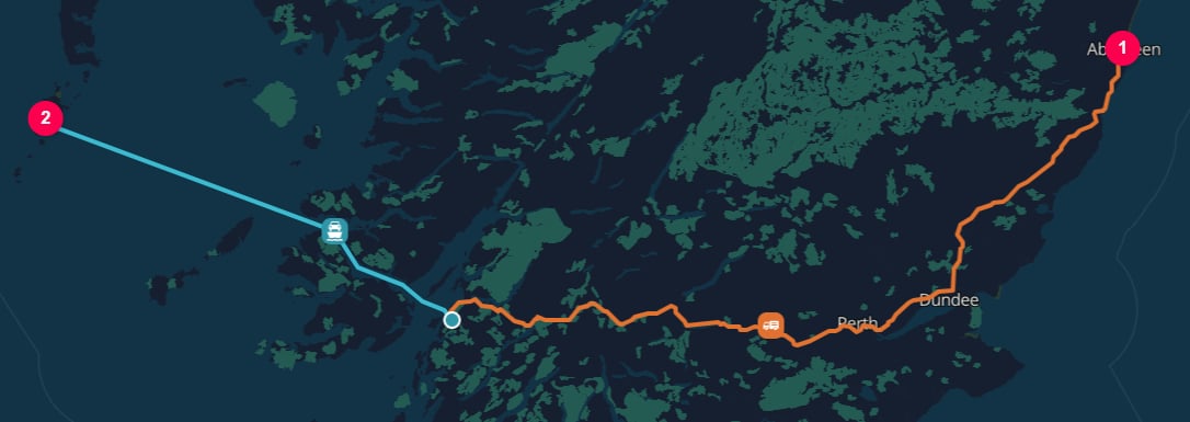
Aberdeen to Castlebay on the Isle of Barra
64% load factor and 50% empty running, provide those vehicle and loading details directly.
50% empty running means the truck completed the loaded outbound trip and then returned empty.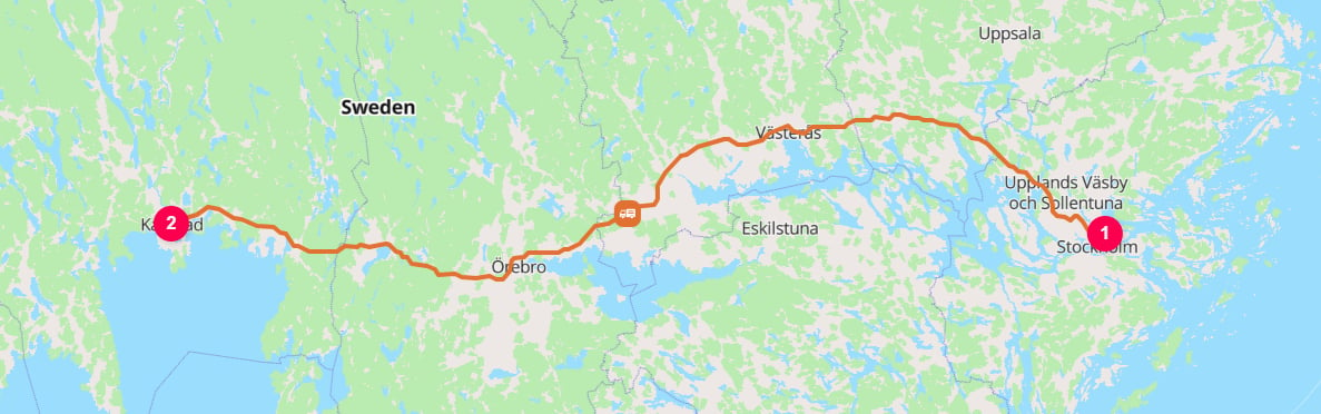
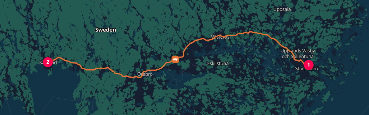
Port of Stockholm [SESTO] to Karlstad
Properties
Road transport has a large set of optional modelling inputs. The most important inputs fall into four groups:Selecting road as the mode
The mode is selected with thetype property on a transport operation:
origin and destination, or from surrounding HUB elements in a larger transportChain.
HUB elements explicitly separates the road legs and the water leg.
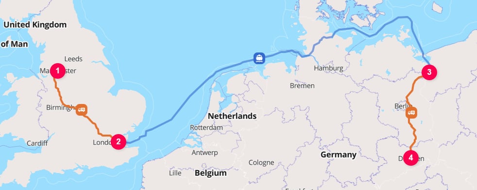
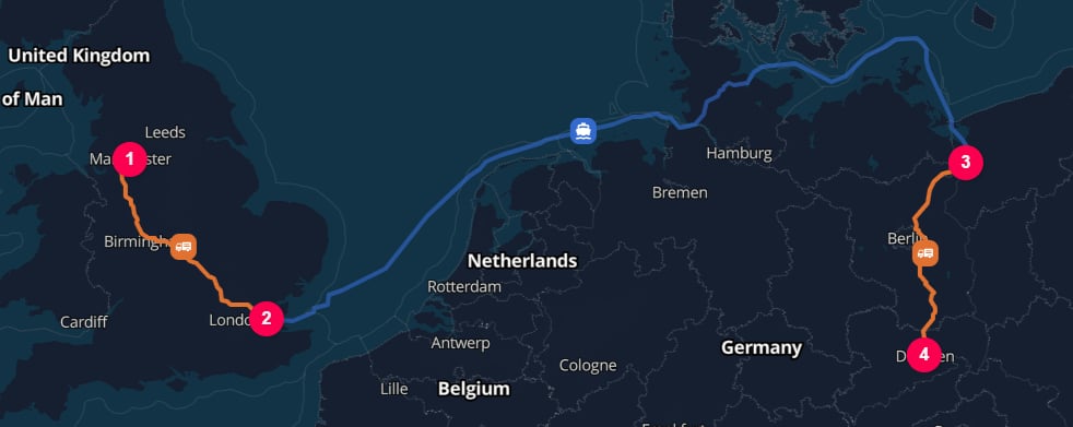
Manchester to Dresden via the London Gateway [GBSHV] and Port of Szczecin [PLSZZ]
ROAD operations with an explicit HUB when the cargo is actually handled between vehicles, depots, or transport providers.
See the logistics hubs guide for choosing the hub location and hubType, and for controlling automatic hub insertion.
Do not split out roll-on/roll-off ferry or train movements as separate transport chain operations when the cargo remains on the road vehicle, trailer, or swap body; TerraTwin includes those movements as sub-operations of the road route.
Vehicle selection
There are several ways to influence road vehicle selection. You do not need to provide all of them. In general, the more direct the vehicle size input, the more precise the selected road vehicle classification. Vehicle selection starts with the region of operation. TerraTwin determines this from the starting point of the road transport operation, then applies any supplied vehicle properties within that regional vehicle system. The supported road vehicle regions are:- North America
- Europe
- South America
- India
- China
- Rest of Asia
- Africa
cargo.category can also influence road vehicle selection even though it is not a property of the road operation itself.
For example, BUILDING_MATERIALS may cause TerraTwin to prefer a dump truck vehicle where that is supported, while typically containerized cargo categories can lead to different vehicle and loading assumptions.Direct selection with grossWeightBand
Use grossWeightBand when you know the road vehicle’s gross vehicle weight range.
This is the highest-priority vehicle size input.
When both grossWeightBand and grossWeight are supplied, grossWeightBand takes precedence.
Vehicle weight inputs
If you do not have a gross weight band, provide one of the numeric vehicle weight properties. Each numeric weight object requiresvalue and unit.
Vehicle structure
structure describes the physical configuration of the road vehicle:
structure is not supplied with a weight input, TerraTwin infers it from the vehicle weight and cargo.category.
If structure is supplied without a vehicle weight input, it is used as a lower priority selector.
A requested DUMP structure is used where supported by the operating region; otherwise TerraTwin maps the request to the closest rigid vehicle class.
Broad vehicle categories
Usevehicle when you only know the general road vehicle size.
This is less precise than using grossWeightBand, grossWeight, maximumWeight, or emptyWeight, but it is useful for sparse carrier data.
Packaging
packaging helps TerraTwin choose vehicle and loading assumptions when more specific vehicle data is not available.
It also affects loadFactor and emptyRunning defaults, because utilisation patterns vary by freight configuration.
packaging is CONTAINER and no stronger vehicle selection input is provided, TerraTwin selects a container capable road vehicle.
packaging.Load distribution, load factor, and empty running
Road emissions depend not only on the vehicle, but also on how that vehicle was used. TerraTwin models this withloadDistribution, loadFactor, and emptyRunning.
Load distribution
loadDistribution describes whether the shipment shared vehicle capacity with other cargo or had exclusive use of the vehicle.
Less than truckload
loadDistribution: "LTL" when the shipment uses part of the vehicle capacity and the remaining capacity is shared with other cargo.LTL is the default.Full truckload
loadDistribution: "FTL" when the shipment has exclusive use of the vehicle.If the cargo exceeds vehicle capacity, TerraTwin assumes multiple trips.Load factor
loadFactor is the percentage utilization of vehicle capacity.
It must be greater than 0 and can be up to 200; values above 100 represent overloading.
For LTL movements, loadFactor represents the overall vehicle utilization used to allocate emissions across the cargo sharing the vehicle.
For FTL movements, loadFactor is ignored. The shipment has exclusive use of the vehicle, so the operation is allocated as full truckload.
Empty running
emptyRunning is the share of total vehicle distance associated with the operation that was driven empty.
TerraTwin uses the GLEC / Smart Freight Centre definition of empty running, based on the traveled distance associated with the operation: loaded distance plus empty distance.
Defaults
IfemptyRunning is omitted, TerraTwin defaults it for the road operation.
If loadDistribution is LTL and loadFactor is omitted, TerraTwin also defaults loadFactor.
For FTL movements, loadFactor is not used because the shipment has exclusive use of the vehicle.
TerraTwin sets these defaults from the operating context, including:
- origin region
- selected vehicle class
- gross weight band
- energy type
- cargo density characteristics
- freight packaging
Energy type
energyType specifies the propulsion energy for the road vehicle.
Year of manufacture and emissions standard
UseyearOfManufacture and emissionsStandard when you know the vehicle age or regulatory emissions class.
These properties refine the selected vehicle’s emissions profile.
yearOfManufacture is omitted, TerraTwin uses a country level weighted aggregation of vehicle years based on the national age distribution.
If the specified year is not supported, TerraTwin falls back to that country-level weighted aggregation.
Supported emissionsStandard values are:
Consumption-based calculations and primary data
By default, road emissions are calculated from the selected vehicle, route, fuel or energy type, load assumptions, and the applicable road emissions model (HBEFA 5.1 / MOVES 5.0) or default factors (GLEC 3.2). WhenenergyConsumption is provided, TerraTwin switches to a consumption-based calculation.
The supplied consumption value is treated as primary data and combined with energyType to calculate emissions directly.
energyConsumption units include absolute quantities and rates:
Dates and time zones
departureDateTime and arrivalDateTime are optional, but provide them when they are known.
They make emissions certificates and analytics more useful by linking results to the period in which the transport occurred.
departureDateTimeis resolved using the start location’s time zone.arrivalDateTimeis resolved using the end location’s time zone.
departureDateTime, or the end location’s time zone for arrivalDateTime.
Explicit offset
Roll-on/roll-off rail and ferry sub-operations
Road routes can include non-road movements when the road vehicle, trailer, or swap body remains intact and is carried by another mode. TerraTwin represents these as sub-operations of the parentROAD operation rather than as separate transport chain operations.
The supported cases are:
RO-RO rail
RO-RO ferry
subOperations array.
The sub-operations are returned in the order they occur and may include:
ROAD operation from the German island of Sylt to the Danish island of Bornholms:
ROAD to the Westerland Autoverladung (vehicle shuttle train)
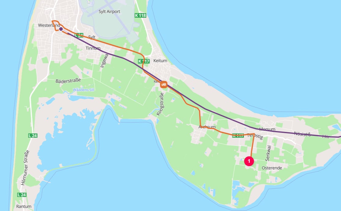
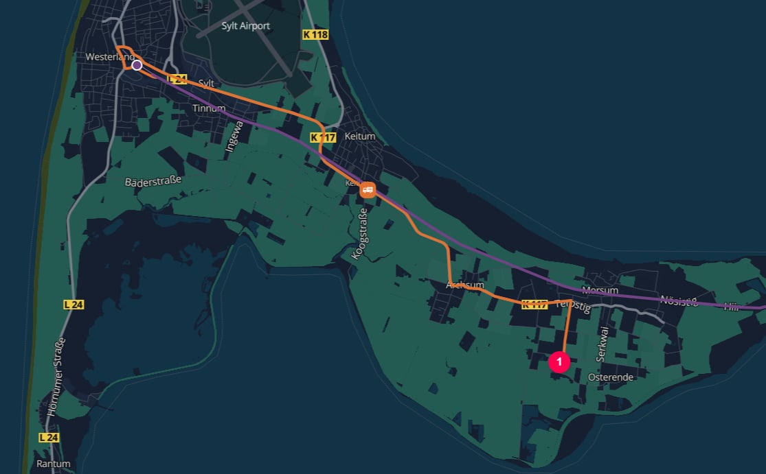
25980 Sylt to Westerland Autoverladung
RAIL between Westerland Autoverladung and Niebüll Autoverladung
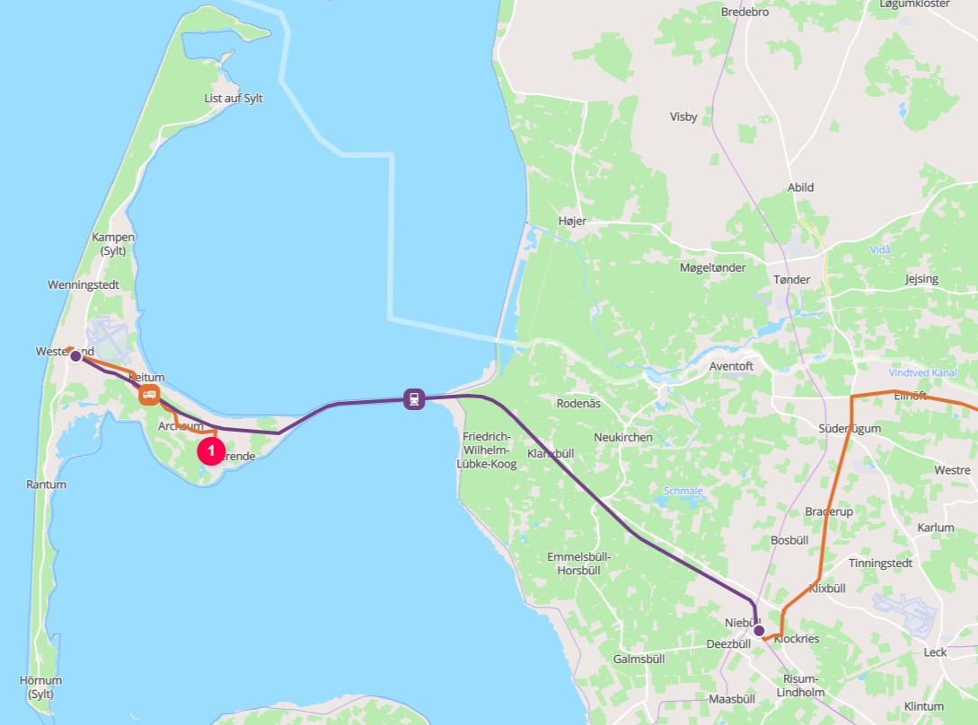
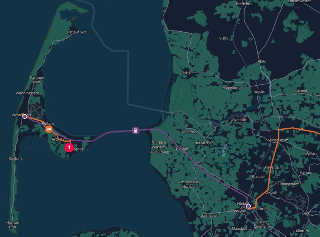
Westerland Autoverladung to Niebüll Autoverladung
ROAD from Niebüll shuttle train station to the Ystad Ferry Terminal
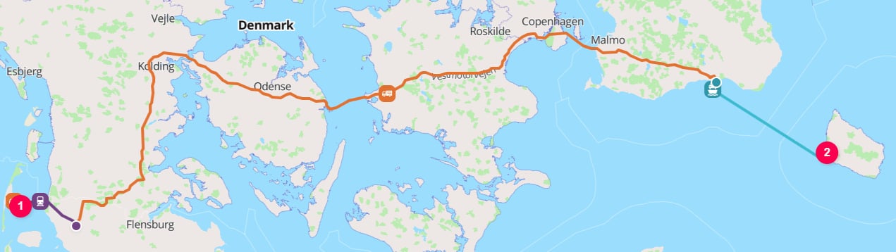
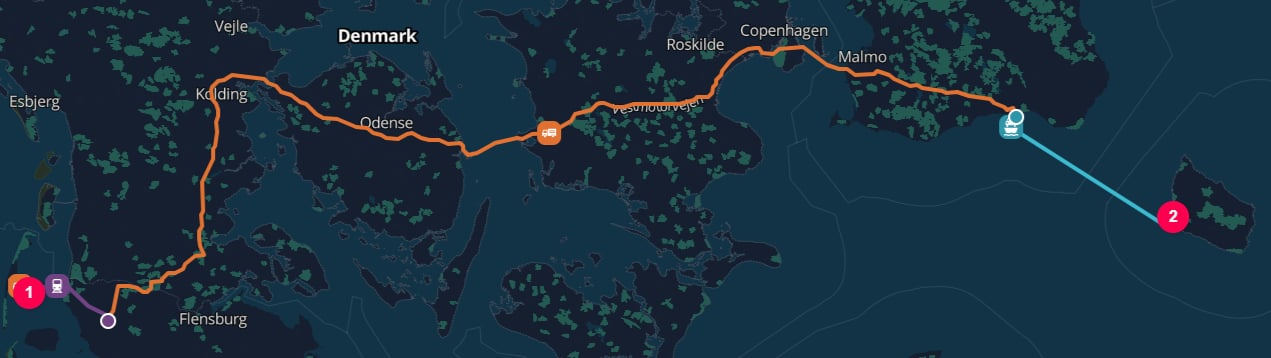
Niebüll Autoverladung to Ystad Ferry Terminal
WATER from the Ystad Ferry Terminal to the Port of Rønne
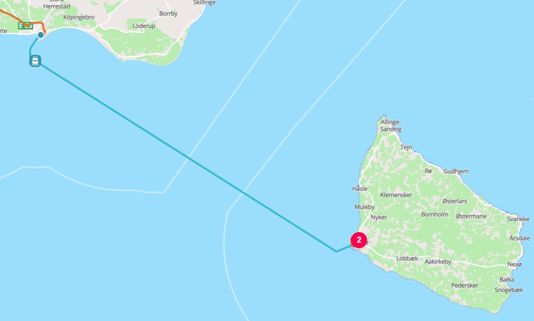
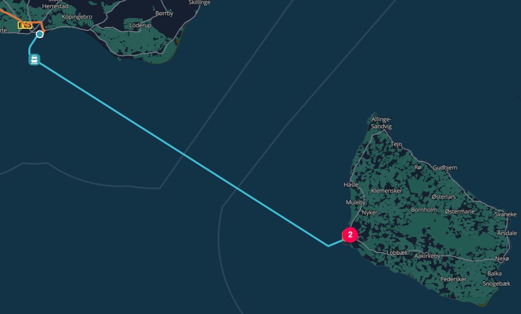
Ystad Ferry Terminal to the Port of Rønne
ROAD from the Port of Rønne to Bornholm Museum
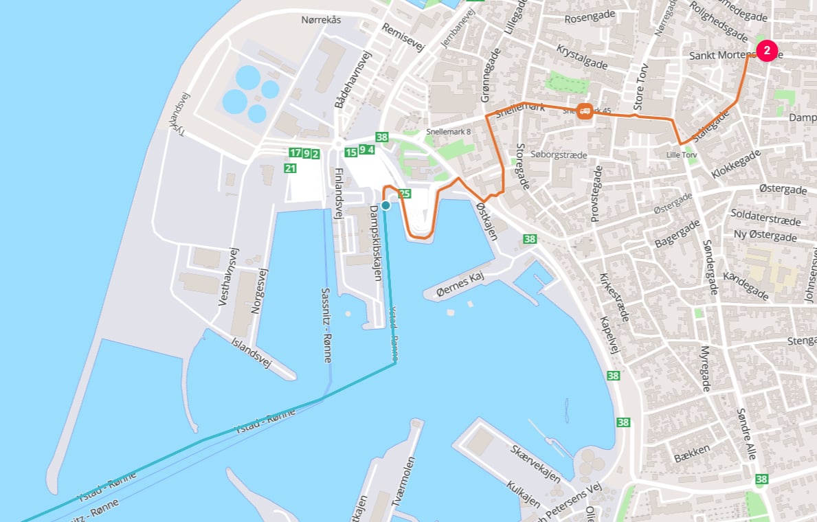
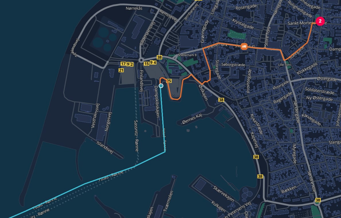
Port of Rønne to Bornholm Museum
RAIL or WATER transport operation only when the cargo is actually handled as rail freight or maritime cargo between rail yards or harbors.
If the truck uses a ferry or train as part of a continuous road journey, model the requested leg as ROAD and let TerraTwin include the RO-RO sub-operations.Route polylines
By default, calculation results do not include the geometry of the calculated route. Set the top-leveloptions.includeRoutePolylines property to true when you need the route geometry for mapping, visualization, or downstream spatial processing:
route property containing a polyline encoded using the Google Encoded Polyline Algorithm Format.
For a road journey that includes roll-on/roll-off rail or ferry sub-operations, the parent ROAD result’s route represents the complete route, including the sub-operation segments. The returned ROAD, RAIL, and WATER sub-operation results also include their corresponding route values.
includeRoutePolylines defaults to false. When it is omitted or set to false, the route properties are not included in the response.Routing failure and mode fallback
Road routing can fail when TerraTwin cannot build a feasible road operation for the requested leg. This can happen when the start or end location is on an island with no road or roll-on/roll-off access, or when there is no continuous route using roads, RO-RO ferries, and RO-RO trains between the locations. Useoptions.fallbackTransportModes to let TerraTwin switch to another transport mode when the requested road operation cannot be realized.
Fallback modes are tried in the order you provide, excluding ROAD because it is the mode that failed.
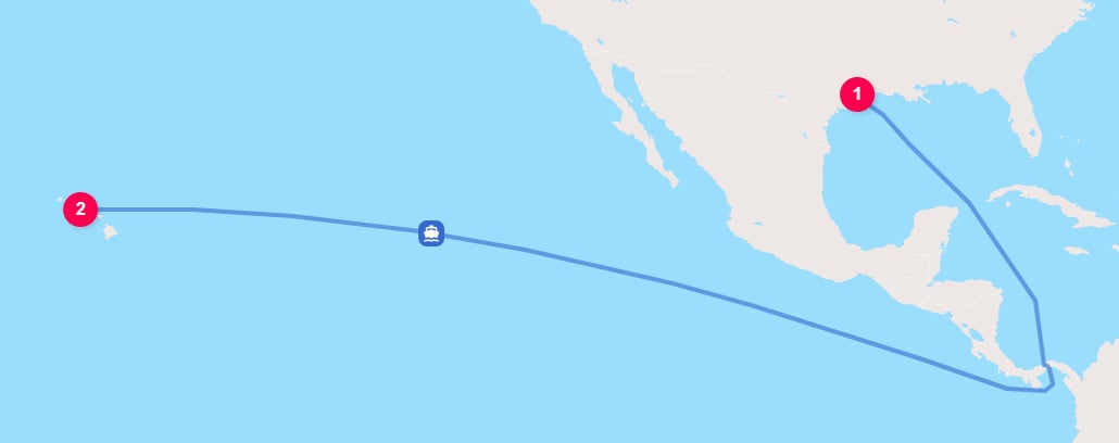
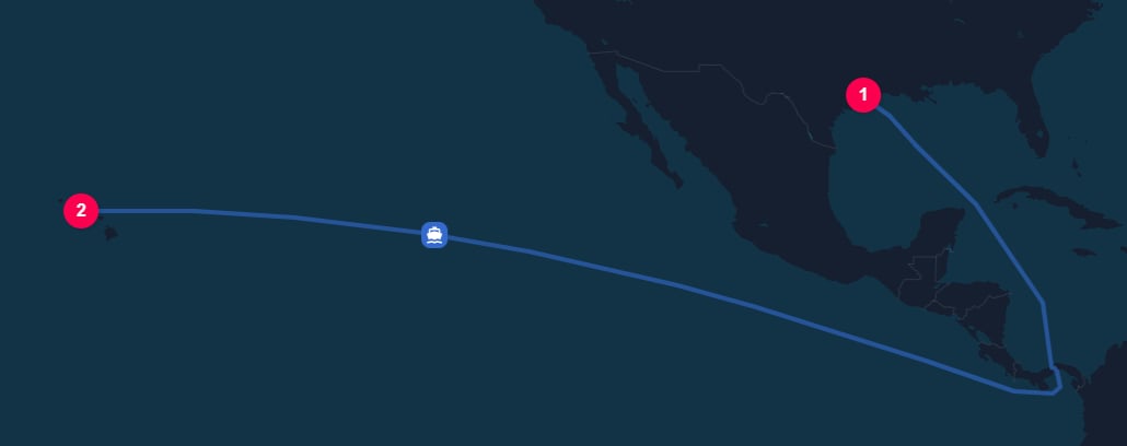
Houston to Honolulu falls back to WATER transport
id or context provided on the failed road operation is preserved and returned with the replacement operation’s result.Recommendations
Set the road mode explicitly
type: "ROAD" in the transport operation when the leg is known to move by road vehicle.Prefer vehicle weight information
grossWeightBand when available. If not, provide grossWeight, maximumWeight, or emptyWeight with units.Add structure when known
ARTICULATED, RIGID, or DUMP to distinguish the vehicle configuration. This improves vehicle classification, especially when combined with a weight input.Use the source region's weight band
Review loading assumptions
loadDistribution, loadFactor, and emptyRunning when known. Otherwise let TerraTwin apply consistent defaults for the selected vehicle, region, and packaging.Set energy type
energyType when the vehicle fuel or energy is known.
If omitted, TerraTwin selects the most common energy type for the country of operation and vehicle size.Use consumption data when available
energyConsumption for measured fuel, electricity, or efficiency data. This switches the road calculation to consumption based primary data.Provide dates when available
departureDateTime or arrivalDateTime when known. Dates improve reporting, certificates, analytics, and time-based interpretation.Let RO-RO stay inside road
Include route geometry when needed
options.includeRoutePolylines to true when you need the calculated route in the response. Decode returned route values using the Google Encoded Polyline Algorithm Format.Use fallback modes for uncertain routability
options.fallbackTransportModes when a requested road route may not be feasible and another mode should be attempted automatically.